HMW Stamper Quarry
*Click on map to unlock navigation | Refresh the page to re-lock map navigation*
General Info
Agency
U.S. Army Corps of Engineers – Kansas City
Authority
Section 404 Clean Water Act
Mitigation Type
Stream
Grantor
Hunt Midwest Mining
8300 NE Underground Dr Suite 100
Kansas City Missouri 64161
Current Owner
Hunt Midwest Real Estate Development, Inc.
8300 NE Underground Dr Suite 100
Kansas City Missouri 64161
Permit & Easement
Easement Duration
Perpetual
Easement Status
Final
Easement Date
08/26/2010
Recordation Date
11/18/2010
Recordation Location
Platte County, Missouri
Acceptance Date
Agency Permits
Download File
Easement Document
Download File
Project Description
Download File
Other Files
Download Mitigation Plan
Inspections
Monitoring Status
Active
Inspections
No Inspections
Site Info
Site Name
HMW Stamper Quarry
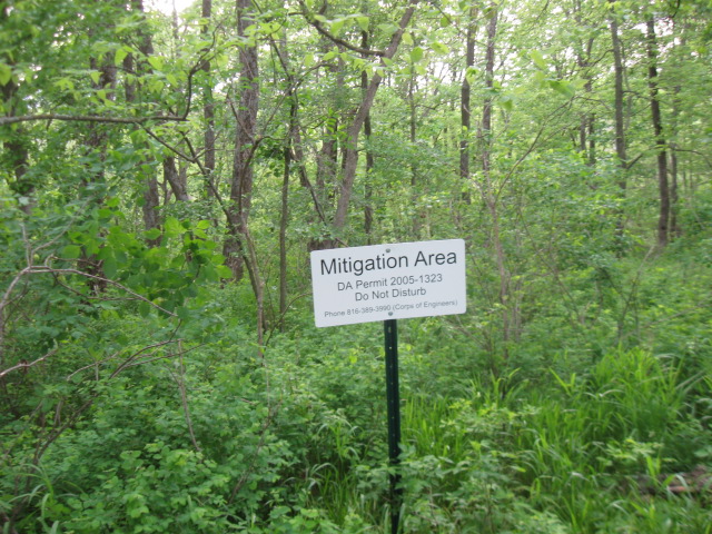
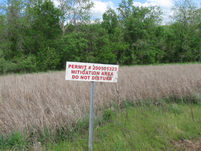
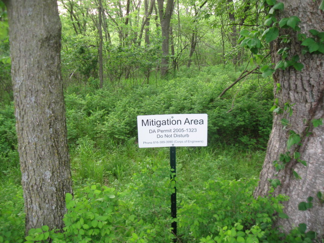
Site Permit
NWK-2005-1323
Site Address
Interurban Rd, west of 136th St
Kansas City Missouri
County
Platte County
Section
1
Range
34W
Township
52N
Geolocation
39.343077, -94.673219
Site Signage
Yes
Acres
31.910
Watershed Designation
Todd Creek
Eco. Drainage Unit
Central Plains/Nishnabotna/Platte
Easement Name
Stamper Quarry
Notes
From Interstate 435 North, take exit 37 for NW Skyview Avenue. Turn right at Skyview and head north to Cookingham Drive. Turn left on Cookingham Drive and head west to 1st Street. Turn right on 1st Street and take the next left on Heady Street. Heady becomes Interurban Rd. Continue north on Interurban Rd 1.4 miles to the project site. The mitigation site is located approximately 0.3 miles east of Interurban Rd.
Site Images

IMG 0018

IMG 0019
IMG 0020
IMG 0025