SWT Osage Plains WSMB
*Click on map to unlock navigation | Refresh the page to re-lock map navigation*
General Info
Agency
U.S. Army Corps of Engineers – Kansas City
Authority
Section 404 Clean Water Act
Mitigation Type
Mitigation Bank
Grantor
Swallow Tail LLC
24820 Miller Road
Harrisonville, Missouri 64701
Current Owner
Swallow Tail LLC
24820 Miller Road
Harrisonville, Missouri 64701
Permit & Easement
Easement Duration
Perpetual
Easement Status
Final
Easement Date
12/08/2008
Recordation Date
12/16/2008
Recordation Location
Cass County, Missouri
Acceptance Date
Agency Permits
Download File
Easement Document
Download File
Project Description
Download File
Other Files
No Other Files
Inspections
Monitoring Status
Expired
Inspections
Inspected 11 / 2019
Download Inspection
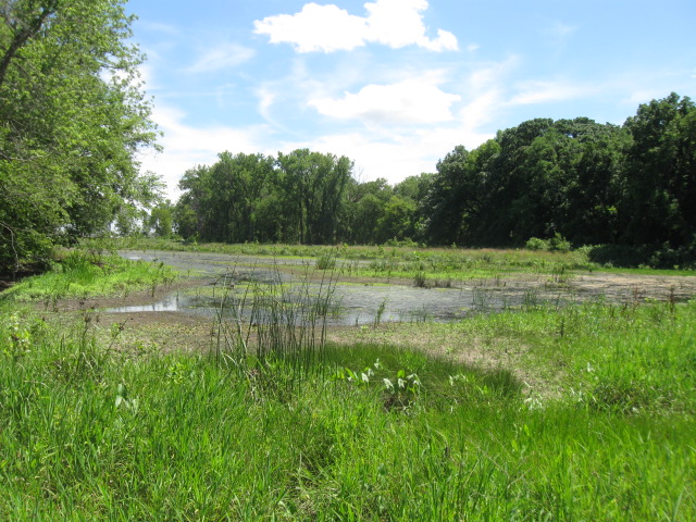
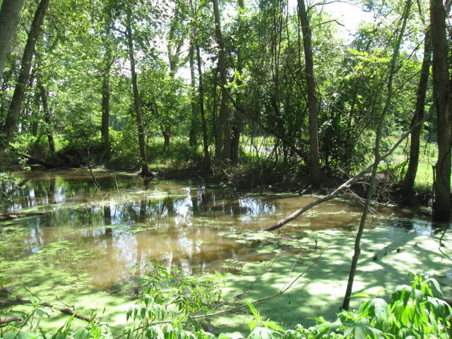
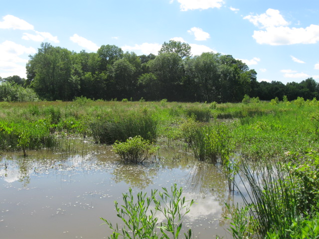
Site Info
Site Name
SWT Osage Plains WSMB
Site Permit
NWK-2006-00316
Site Address
S Miller Rd & E 251st St
Harrisonville Missouri
County
Cass County
Section
36
Range
32W
Township
45N
Geolocation
38.671134, -94.419565
Site Signage
Yes
Acres
55.490
Watershed Designation
Headwaters South Grand
Eco. Drainage Unit
Central Plains/Osage/South Grand
Easement Name
Osage Plains WSMB
Notes
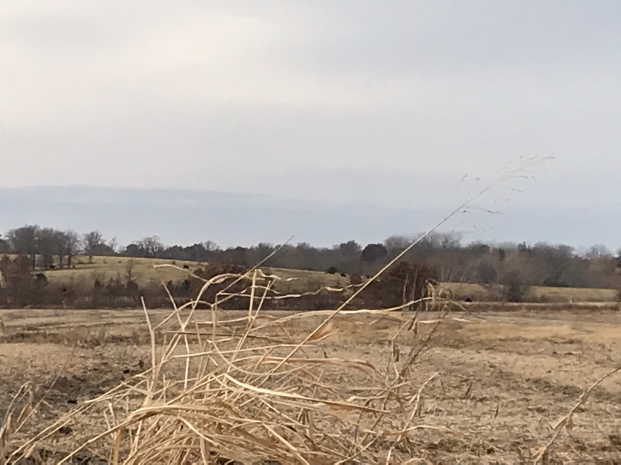
The mitigation area is located roughly 3.5 miles to the west of Harrisonville in Cass County, Missouri along the East Branch of the South Grand River. To get to the site from U.S. Highway 71, take the exit for Highway 2 in Harrisonville. Go east on Highway 2 and turn left onto North Commercial Street which becomes East Rock Haven Road. Drive approximately 1.9 miles and turn left to cross over U.S. Highway 71. Turn right onto Peculiar Drive. After 0.5 miles turn left onto Miller Road. Go roughly 0.3 miles and turn right into the Bank after crossing over the East Branch of the South Grand River.
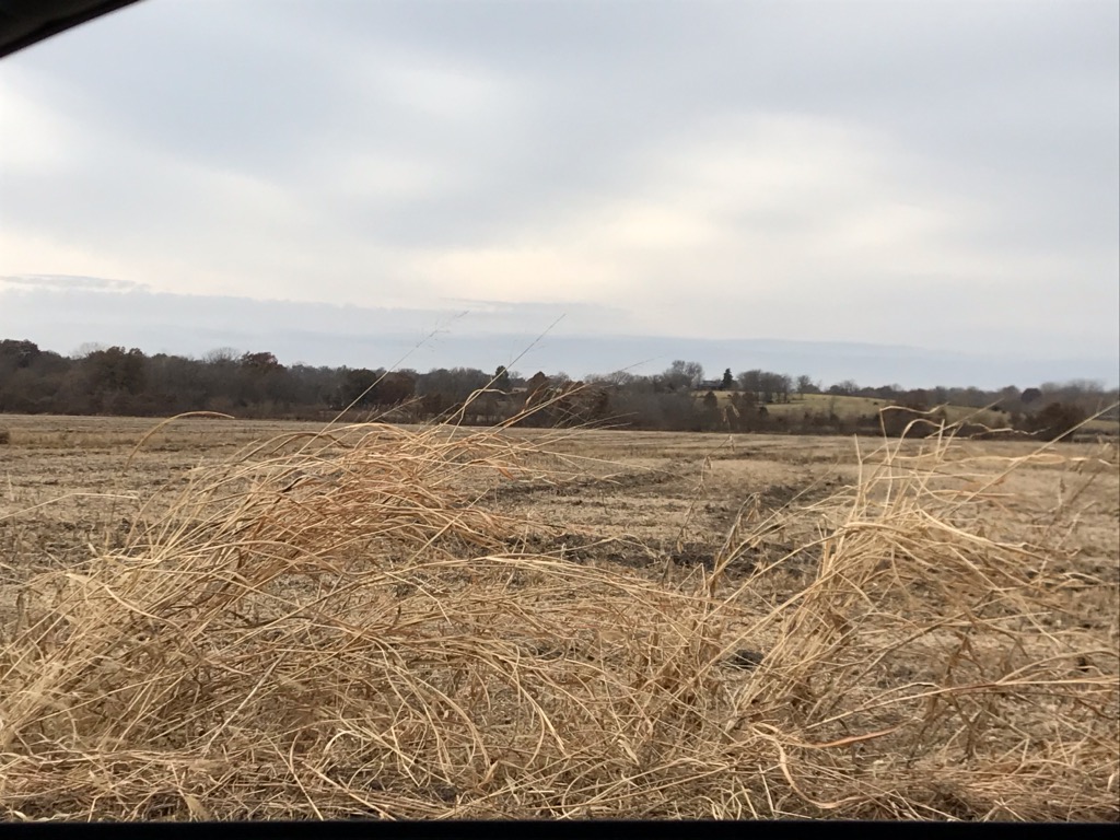
Site Images
011
013
015

025
IMG 0954

IMG 0955