TF Blue Branch LS Road PRM
*Click on map to unlock navigation | Refresh the page to re-lock map navigation*
General Info
Agency
U.S. Army Corps of Engineers – Kansas City
Authority
Section 404 Clean Water Act
Mitigation Type
Stream
Grantor
Terra Foundation Inc.
24820 Miller Rd
Harrisonville Missouri 64701
Current Owner
Terra Foundation Inc.
24820 Miller Rd
Harrisonville Missouri 64701
Permit & Easement
Easement Duration
Perpetual
Easement Status
Final
Easement Date
12/01/2013
Recordation Date
02/05/2014
Recordation Location
Jackson County, Missouri
Acceptance Date
Agency Permits
No Permit Files
Easement Document
Download File
Project Description
Download File
Other Files
No Other Files
Inspections
Monitoring Status
Expired
Inspections
Inspected 4 / 2020
Download Inspection
Site Info
Site Name
TF Blue Branch LS Road PRM
Site Permit
NWK-2010-1168
Site Address
North of NW Broadway St
Grain Valley Missouri
County
Jackson County
Section
33
Range
30W
Township
49N
Geolocation
39.010860, -94.225973
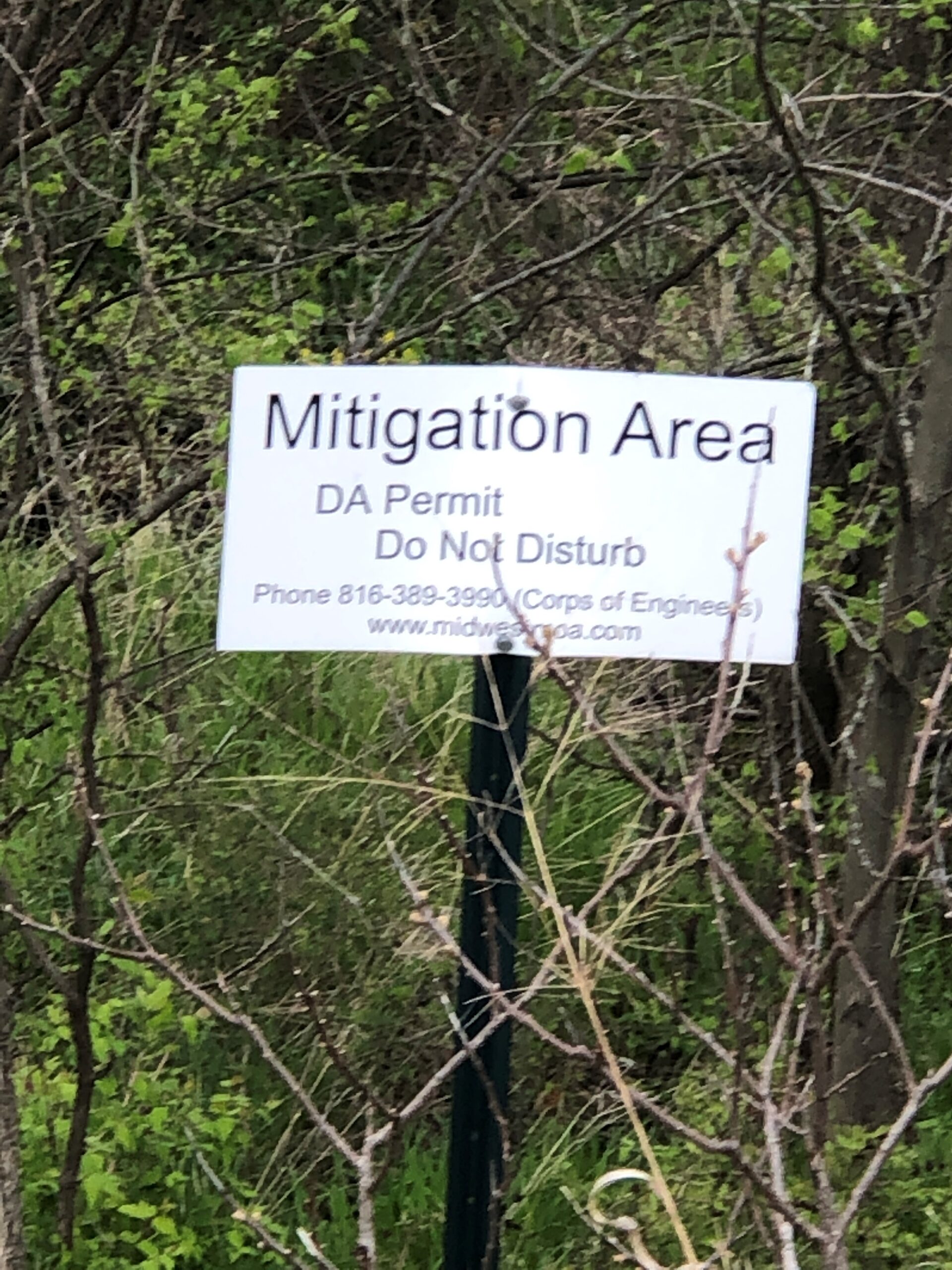
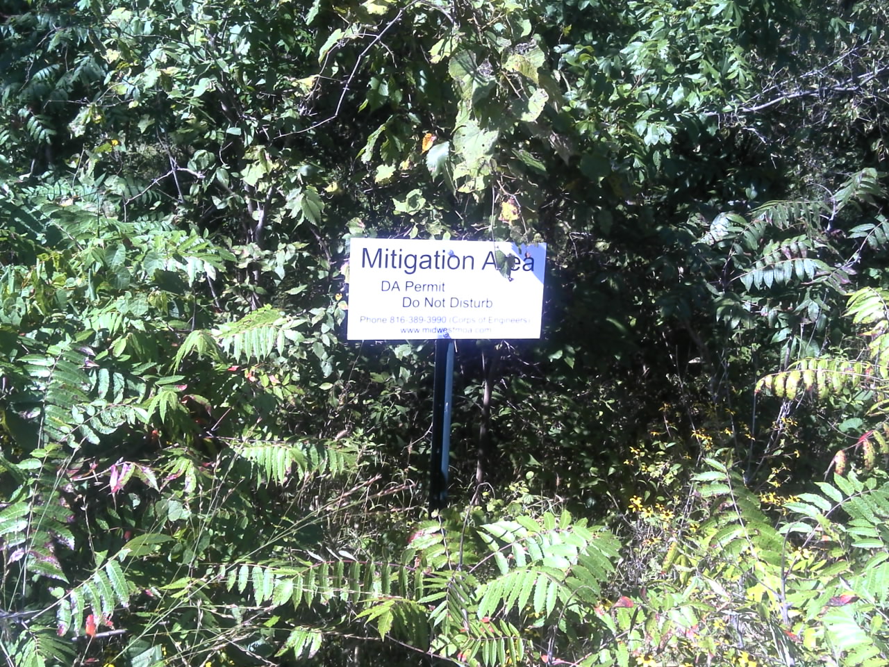
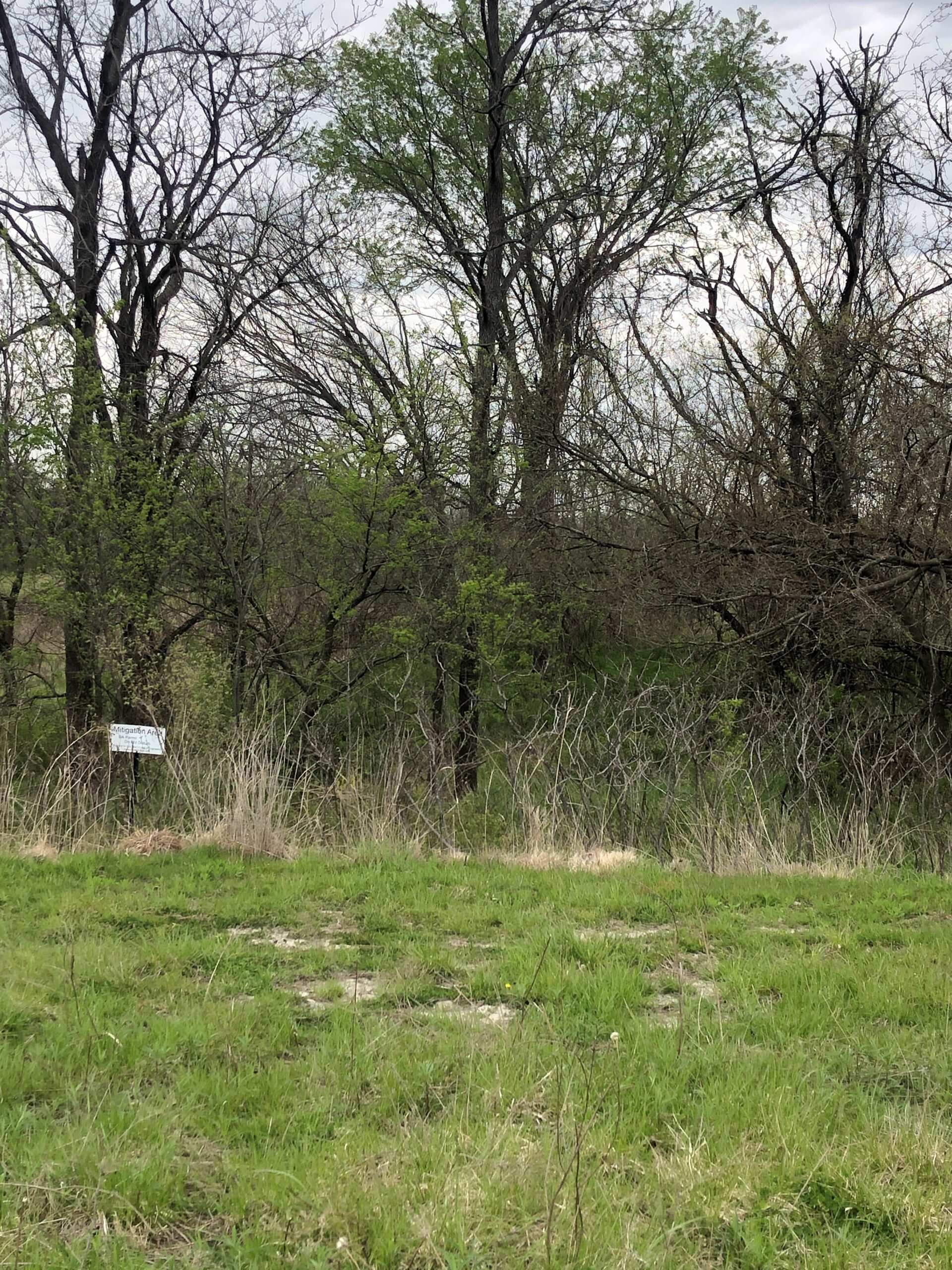
Site Signage
Yes
Acres
0.248
Watershed Designation
Swiney Branch – Sni-A-Bar Creek
Eco. Drainage Unit
Central Plains/Blackwater/Lamine
Easement Name
Blue Branch LS Road PRM
Notes
From U.S. Interstate 70 take Exit 21 for Adams Dairy Parkway. Turn south onto Adams Dairy Parkway and follow it for approximately 1.3 miles, then turn east (left) onto Missouri Highway AA. Continue on Missouri Highway AA approximately 1.2 miles then turn north (left) onto NW Jackie Ave. Continue on NW Jackie Ave. for approximately 400 feet then turn east (right) onto Michael Drive. Continue on Michael Drive for approximately 450 feet at which point there is a cul-de-sac. From this location the mitigation site is located to the northeast.
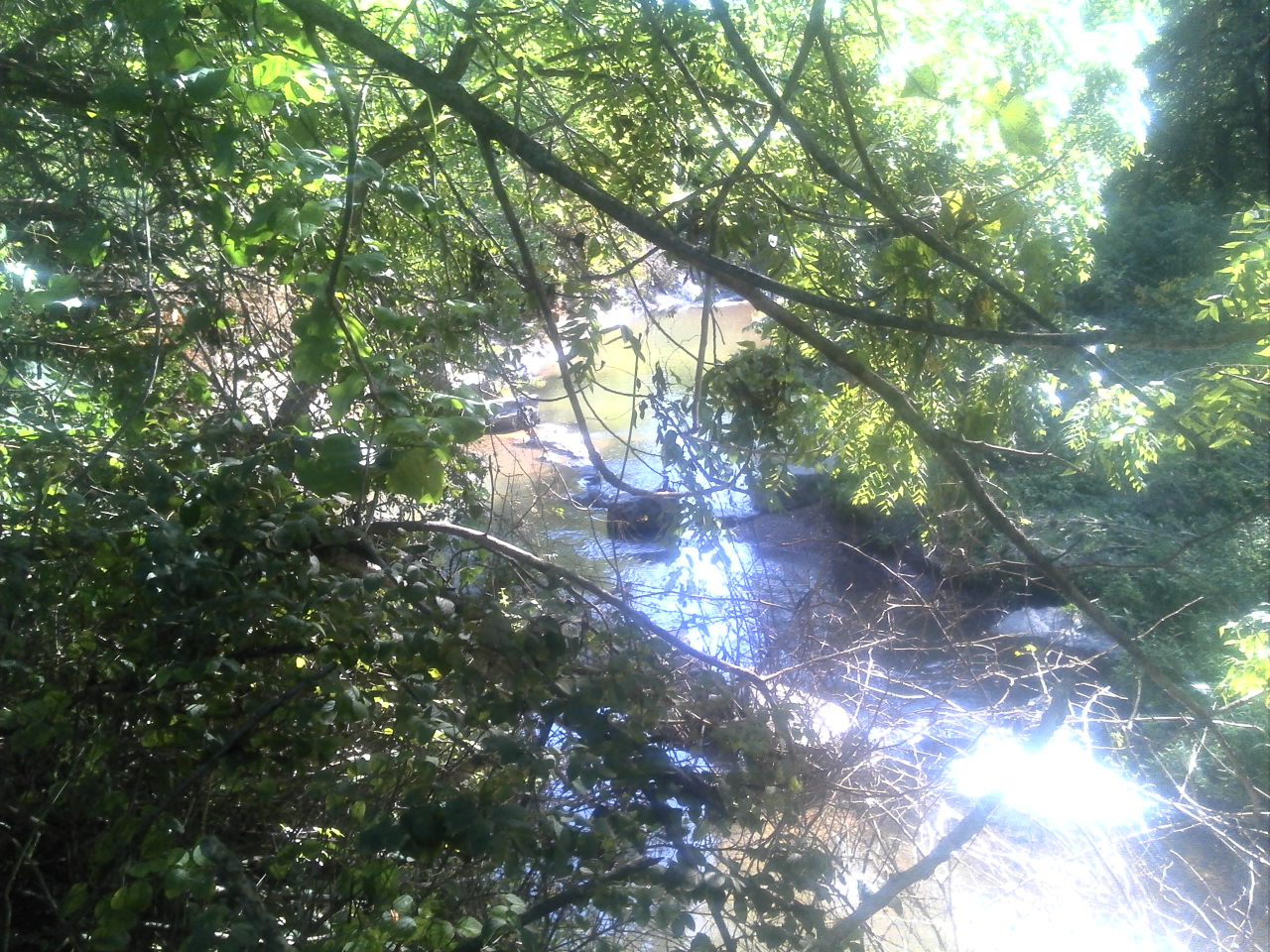
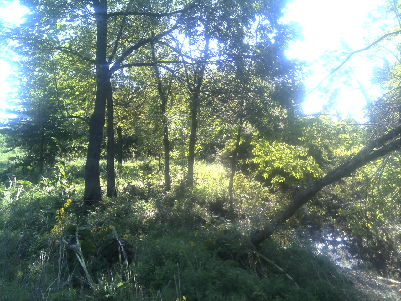
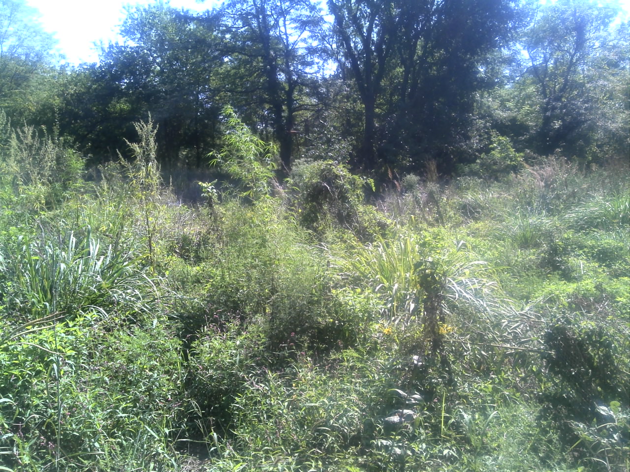
Site Images
DSC00002
DSC00003
DSC00009
DSC00035
Terra Blue Branch LS Rd 1