Woodland Trails Conservation Parcel
*Click on map to unlock navigation | Refresh the page to re-lock map navigation*
General Info
Agency
Internal Revenue Service
Authority
Section 170 IRS
Mitigation Type
Non-Mitigation Parcel
Grantor
WT Holdings (52.98 acres) and Woodland Trails Development Co. (4.95 acres)
Attn: James Riffe
1800 NE Blue Heron Drive
Lee’s Summit MO 64086
Current Owner
WT Holdings (52.98 acres) and Woodland Trails Development Co. (4.95 acres)
Attn: James Riffe
1800 NE Blue Heron Drive
Lee’s Summit MO 64086
Permit & Easement
Easement Duration
Perpetual
Easement Status
Final
Easement Date
12/05/2019
Recordation Date
12/19/2019
Recordation Location
Jackson County, Missouri
Acceptance Date
12/06/2019
Agency Permits
No Permit Files
Easement Document
Download File
Project Description
Download File
Other Files
No Other Files
Inspections
Monitoring Status
Expired
Inspections
No Inspections
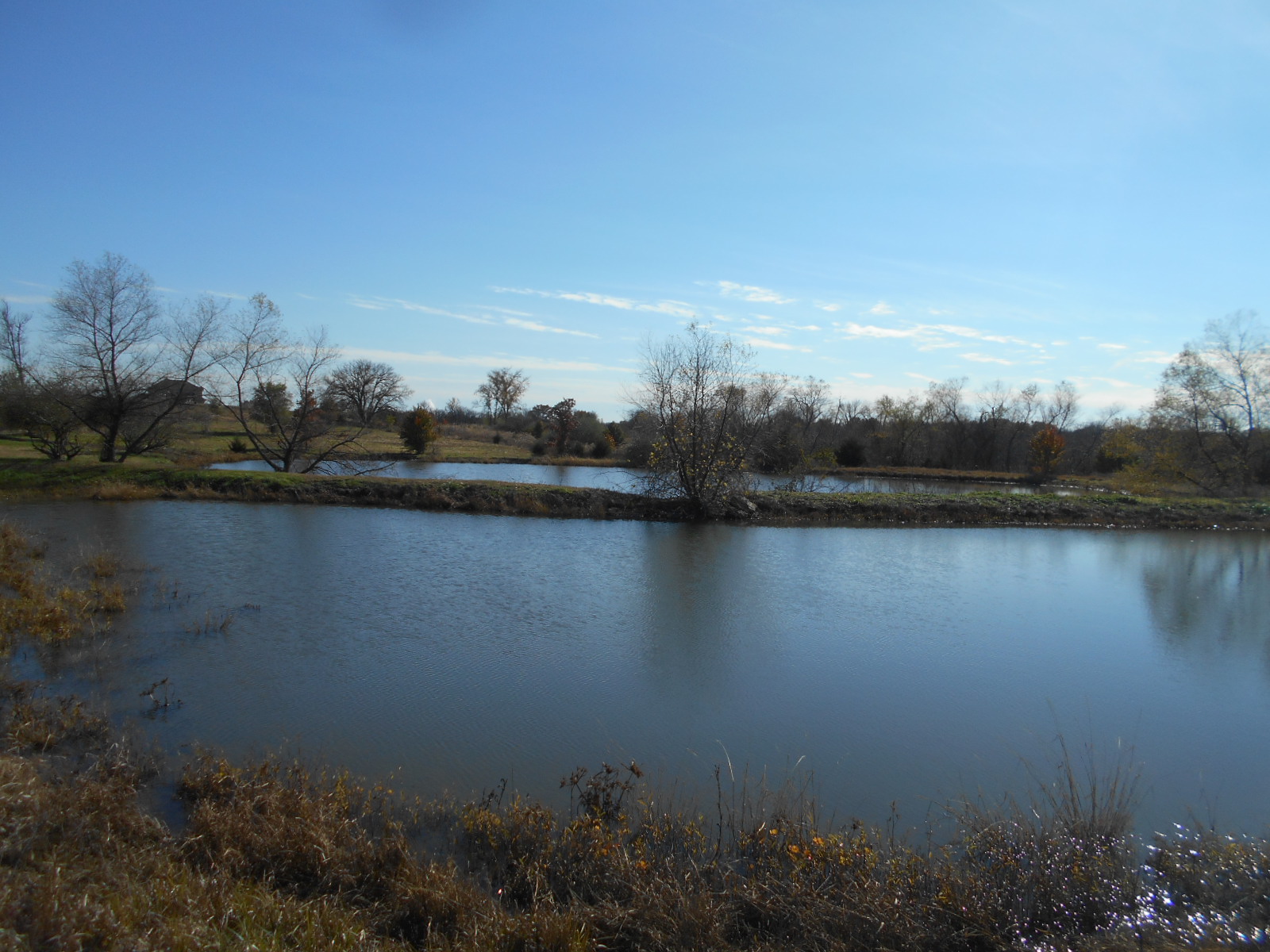
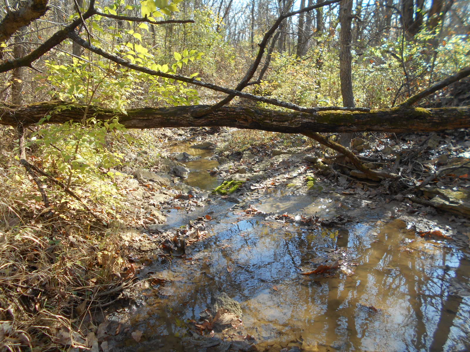
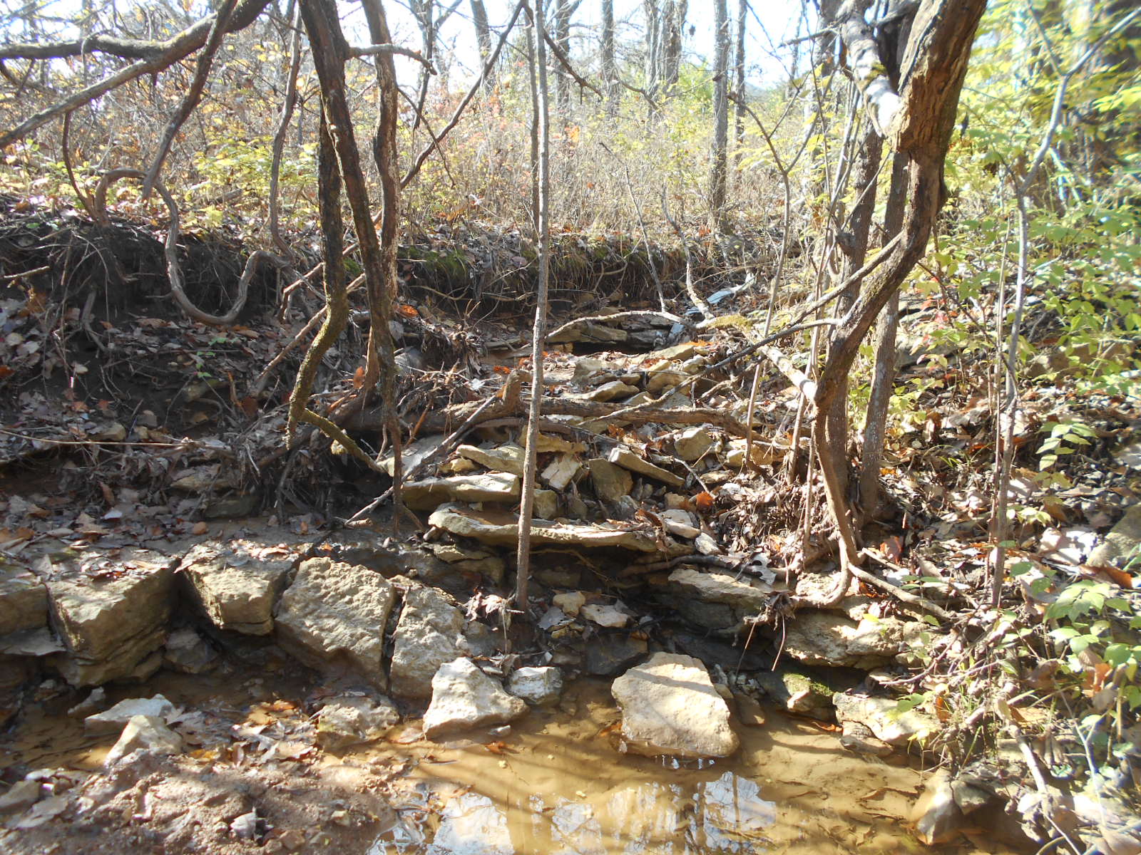
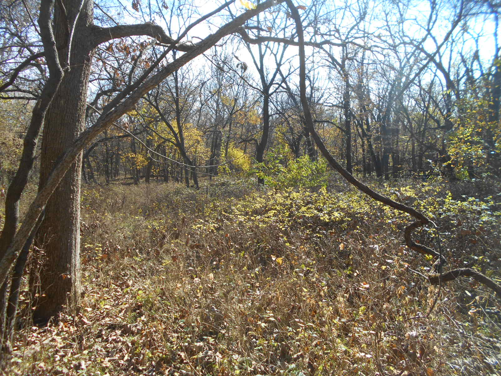
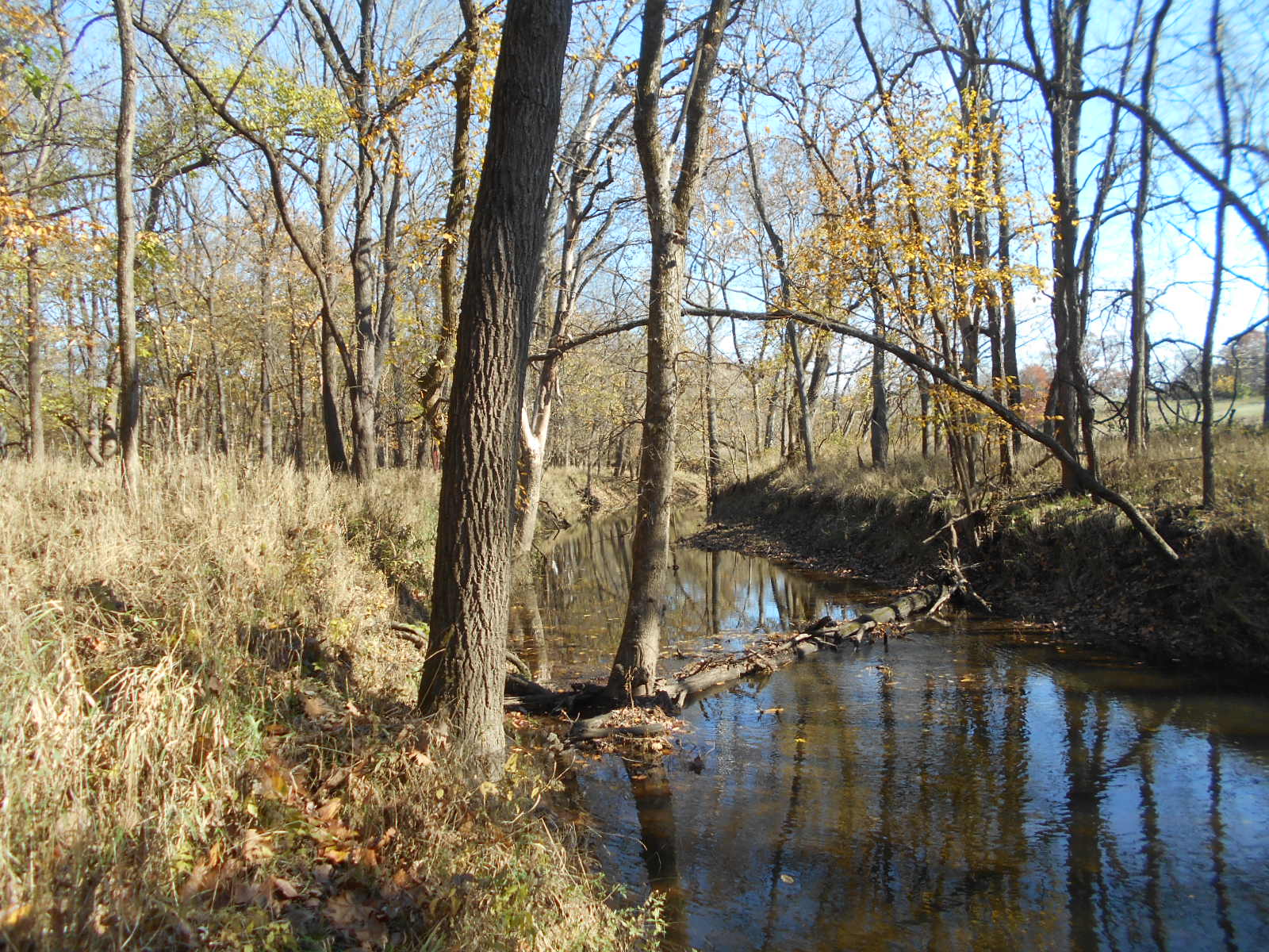
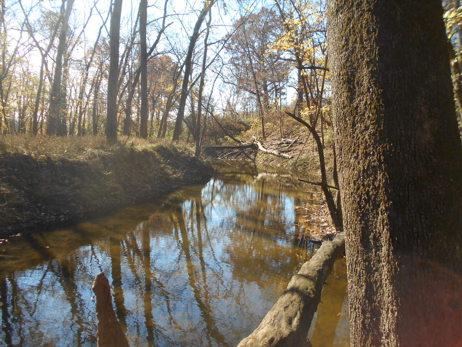
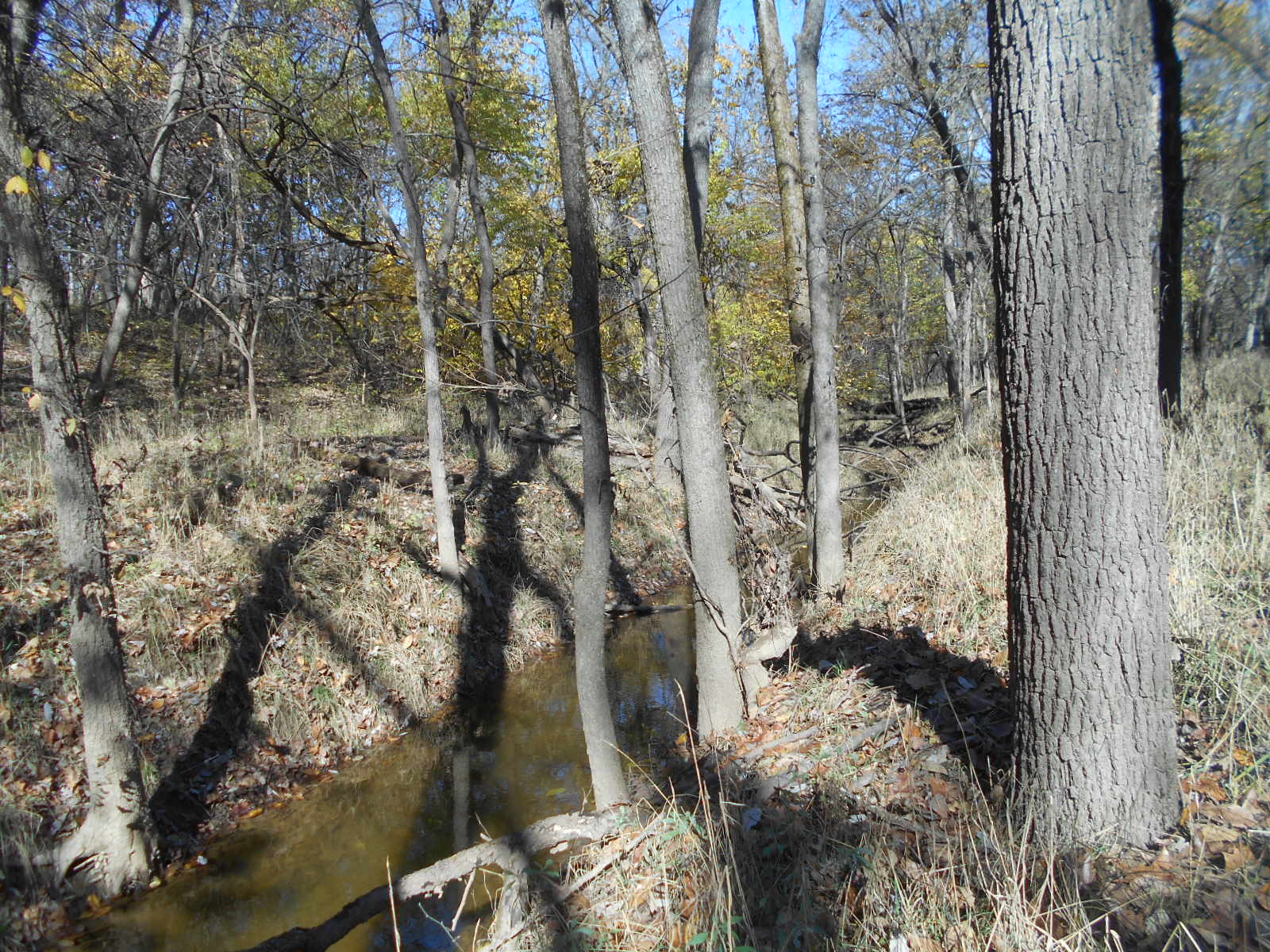
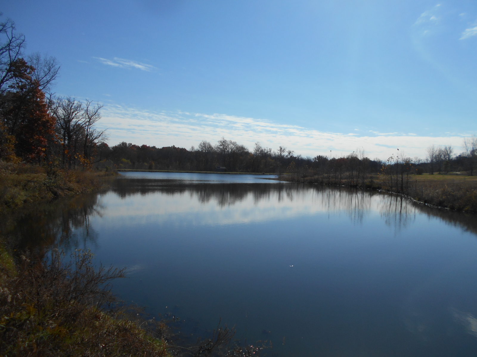
Site Info
Site Name
Woodland Trails Conservation Parcel
Site Permit
N/A
Site Address
M-150 Highway, 2 miles east of Greenwood at Wilds Parkway
Greenwood Missouri 64034
County
Jackson County
Section
35
Range
31W
Township
47N
Geolocation
38.843910, -94.316480
Site Signage
No
Acres
57.940
Watershed Designation
MO River, South Grand, Big Creek, East Branch
Eco. Drainage Unit
Central Irregular Plains Level III, Wooded Osage Plains Level IV
Easement Name
Woodland Trails Conservation Parcel
Notes
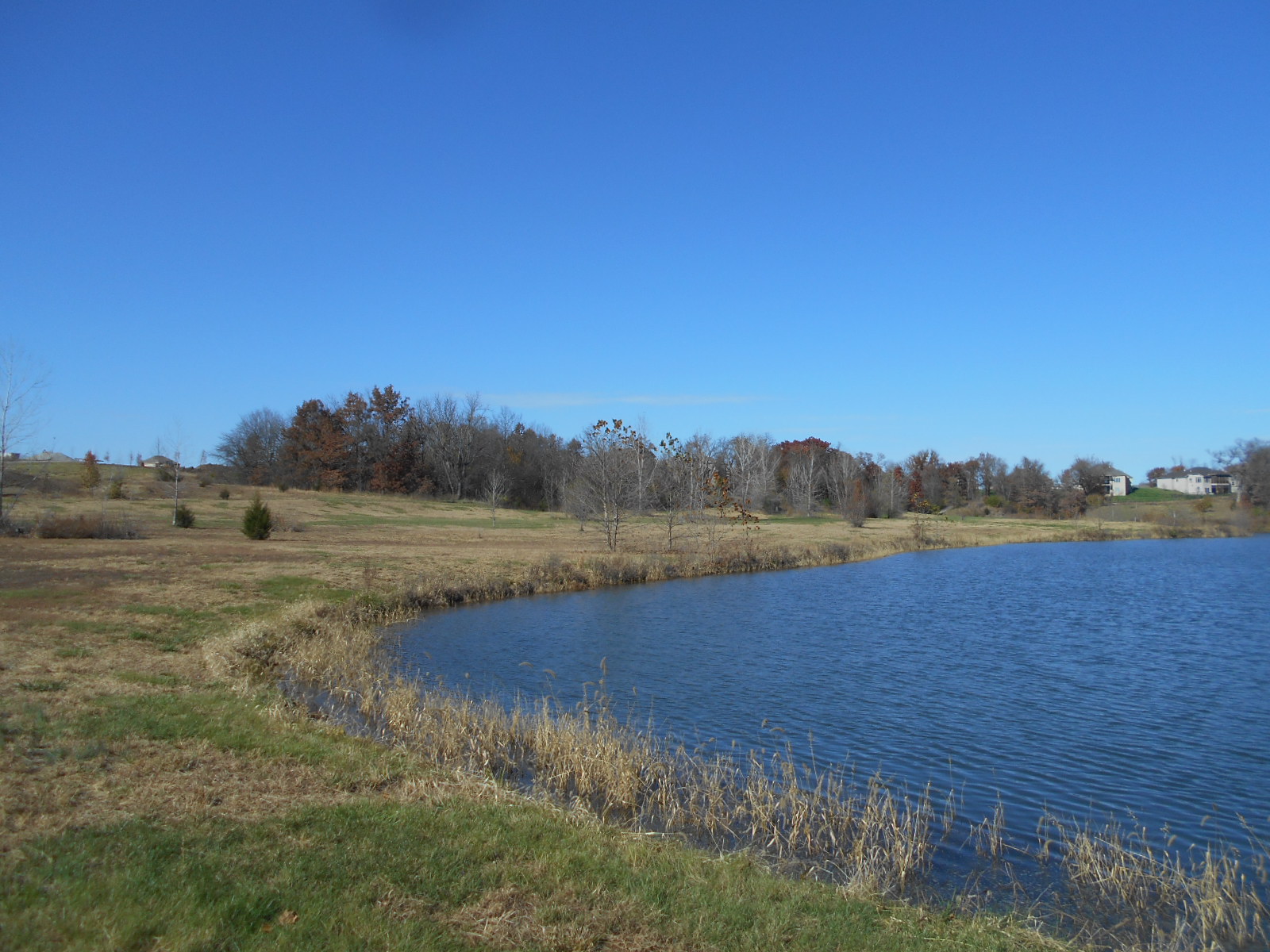
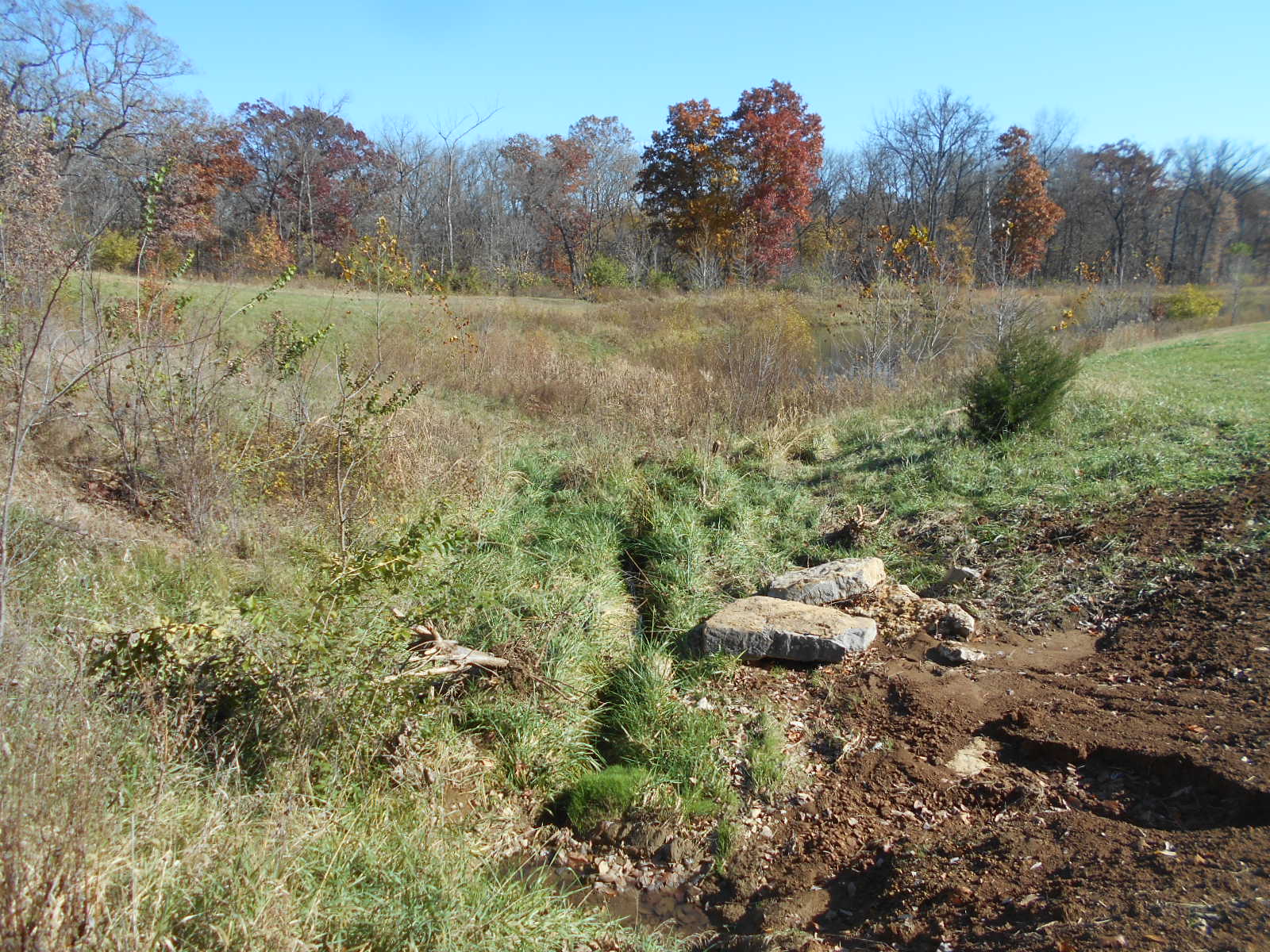
Site Images
DSCN0004
DSCN0005
DSCN0006
DSCN0008
DSCN0009
DSCN0010
DSCN0011
DSCN0012
DSCN0014