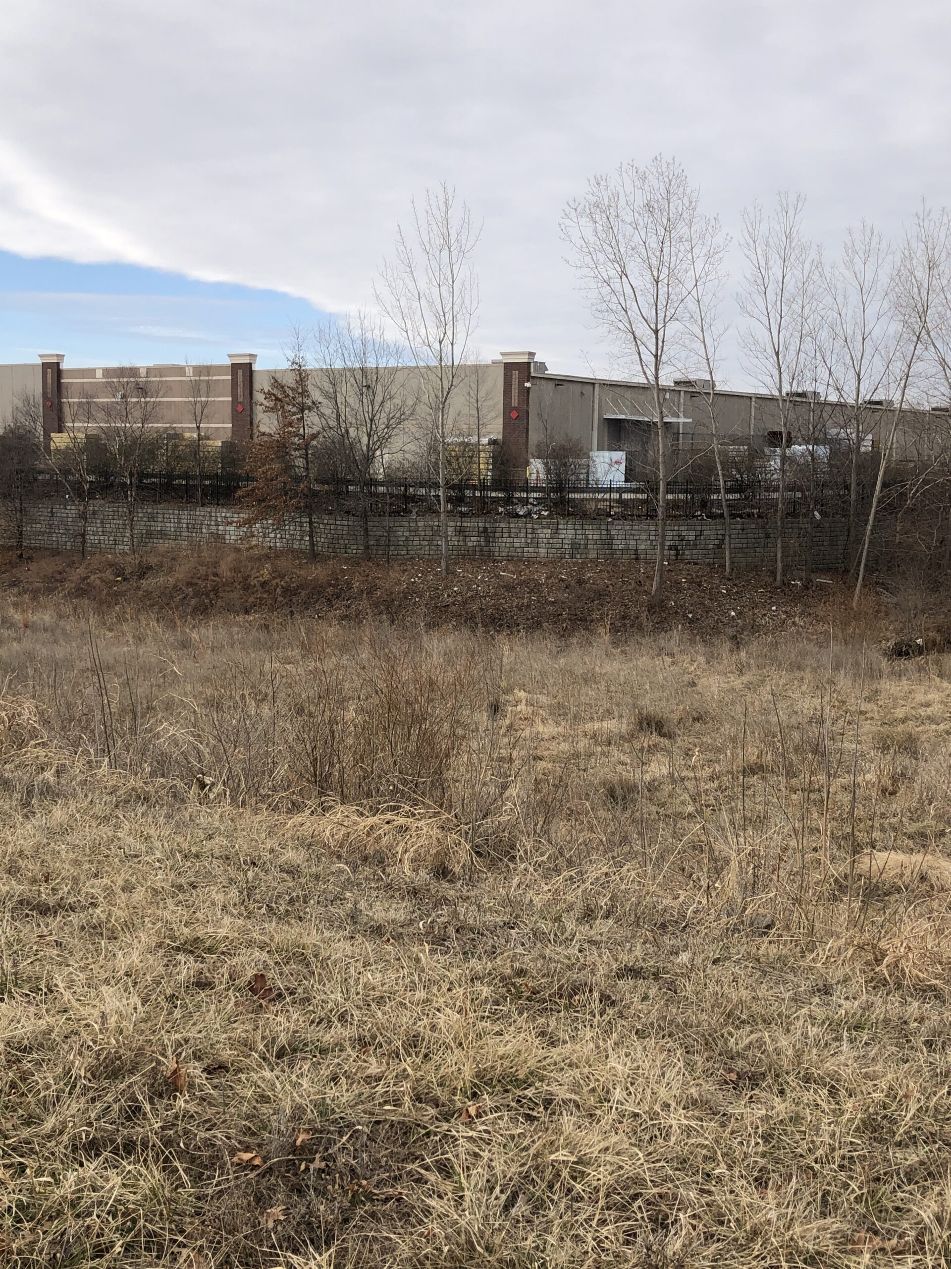
Lowe’s Liberty Triangle
*Click on map to unlock navigation | Refresh the page to re-lock map navigation*
General Info
Agency
U.S. Army Corps of Engineers – Kansas City
Authority
Section 404 Clean Water Act
Mitigation Type
Stream/Wetland
Grantor
Lowe’s Home Centers Inc.
PO Box 1111
North Wilkesboro NC 28656
Current Owner
Lowe’s Home Centers Inc.
PO Box 1111
North Wilkesboro NC 28656
Permit & Easement
Easement Duration
Perpetual
Easement Status
Final
Easement Date
03/13/2012
Recordation Date
03/13/2013
Recordation Location
Clay County, Missouri
Acceptance Date
Agency Permits
Download File
Easement Document
Download File
Project Description
Download File
Other Files
Download Mitigation Plan
Inspections
Monitoring Status
Expired
Inspections
Inspected 2 / 2020
Download Inspection
Site Info
Site Name
Lowe’s Liberty Triangle
Site Permit
NWK-2003-1320
Site Address
N Blue Jay Dr & College St
Liberty Missouri
County
Clay County
Section
12
Range
32W
Township
51N
Geolocation
39.248389, -94.449861
Site Signage
Yes
Acres
2.910
Watershed Designation
Middle Shoal Creek
Eco. Drainage Unit
Central Plains/Blackwater/Lamine
Easement Name
Liberty Triangle
Notes
Head north on Interstate 435 N and then take exit 52B to merge onto I-35 N toward Des Moines. Take exit 16 for MO-152 toward KCI Airport/Liberty and turn right onto MO-152 E/W Kansas Street. In 0.1 miles, turn left at the first cross street onto Conistor St. At the traffic circle, take the first exit onto College Street. Mitigation site will be north of College Street before the second roundabout.
Site Images
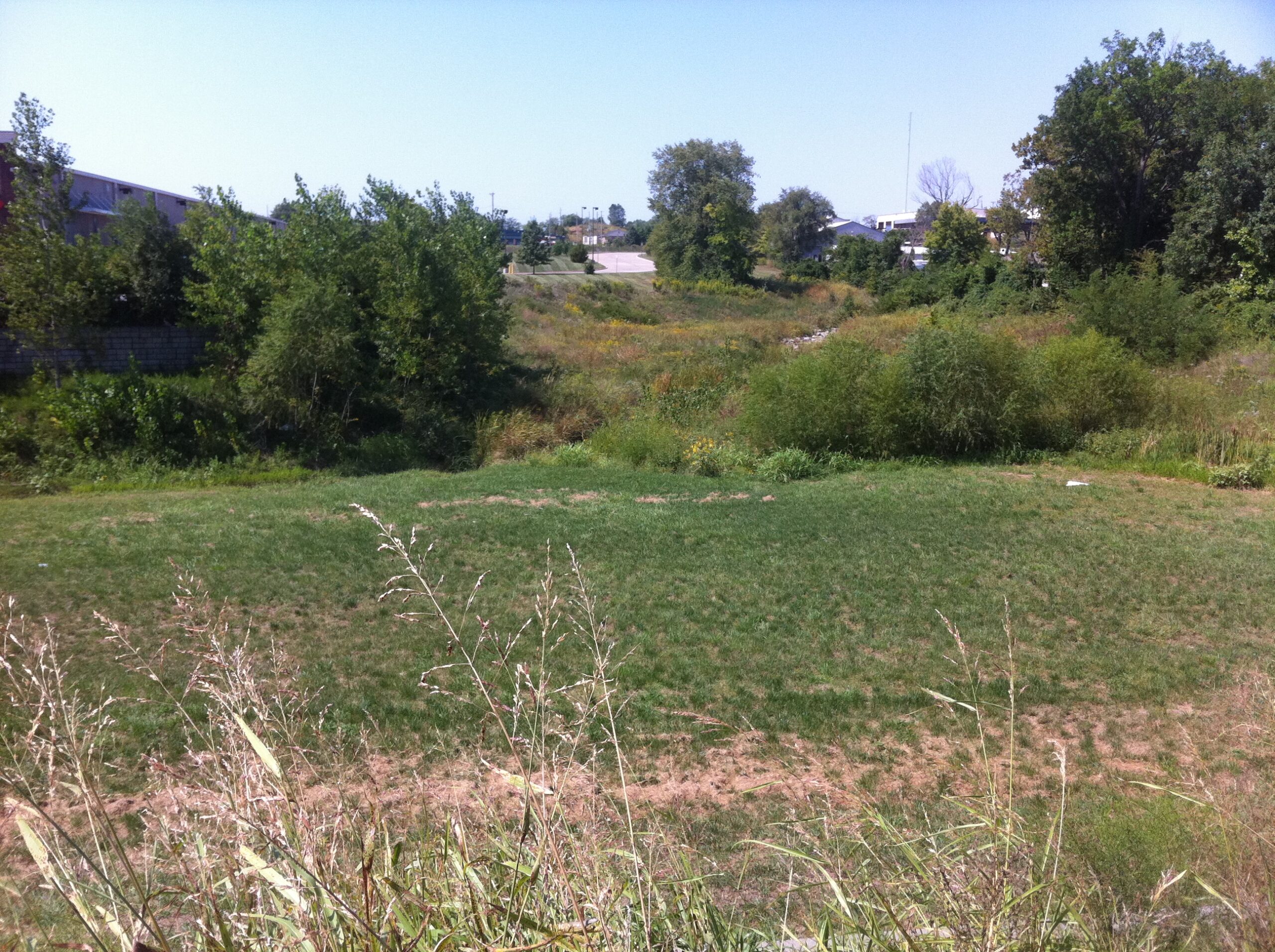
110913 Lowes Mitigation Area Photo 2
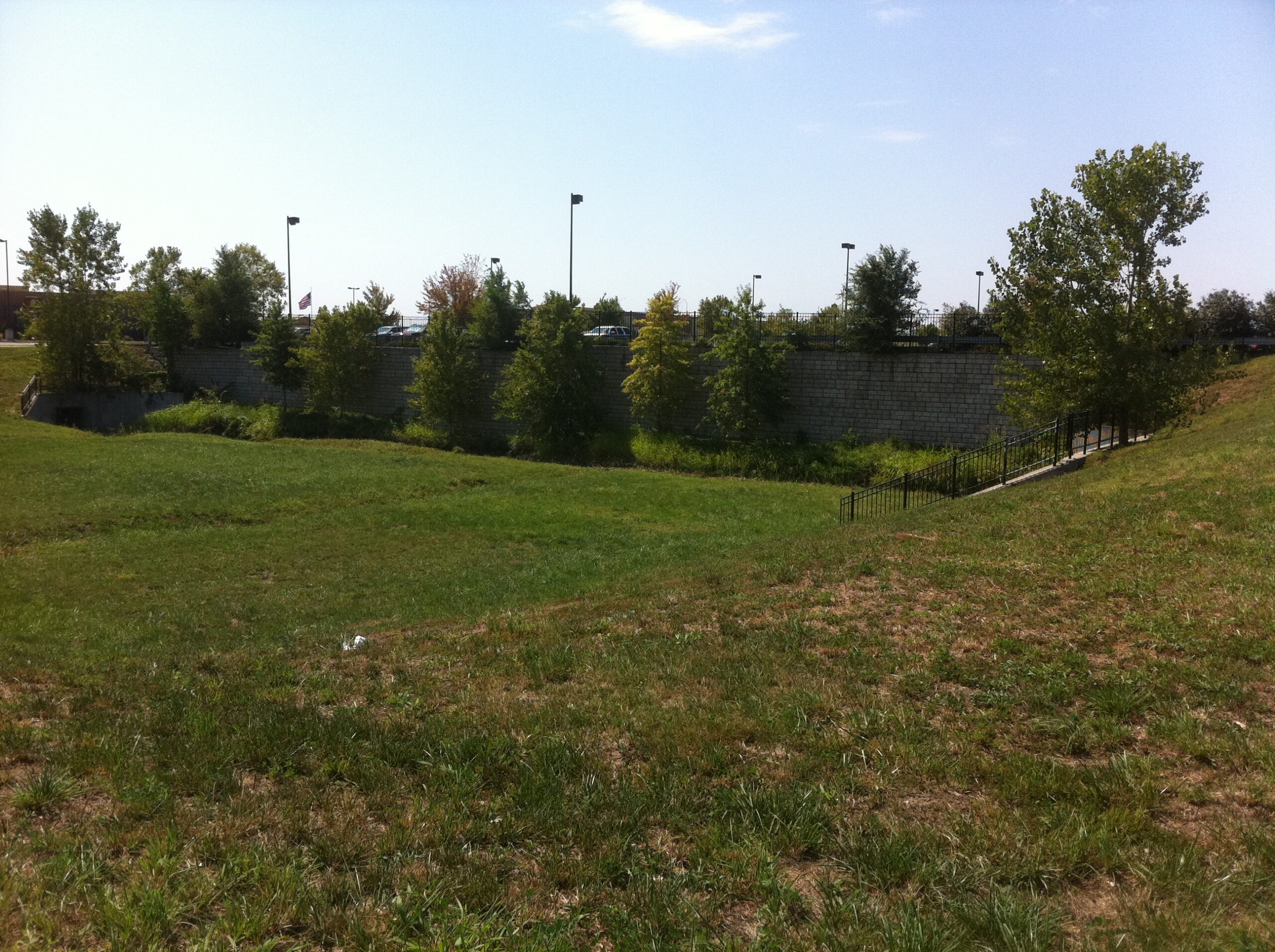
110913 Lowes Mitigation Area Photo 3
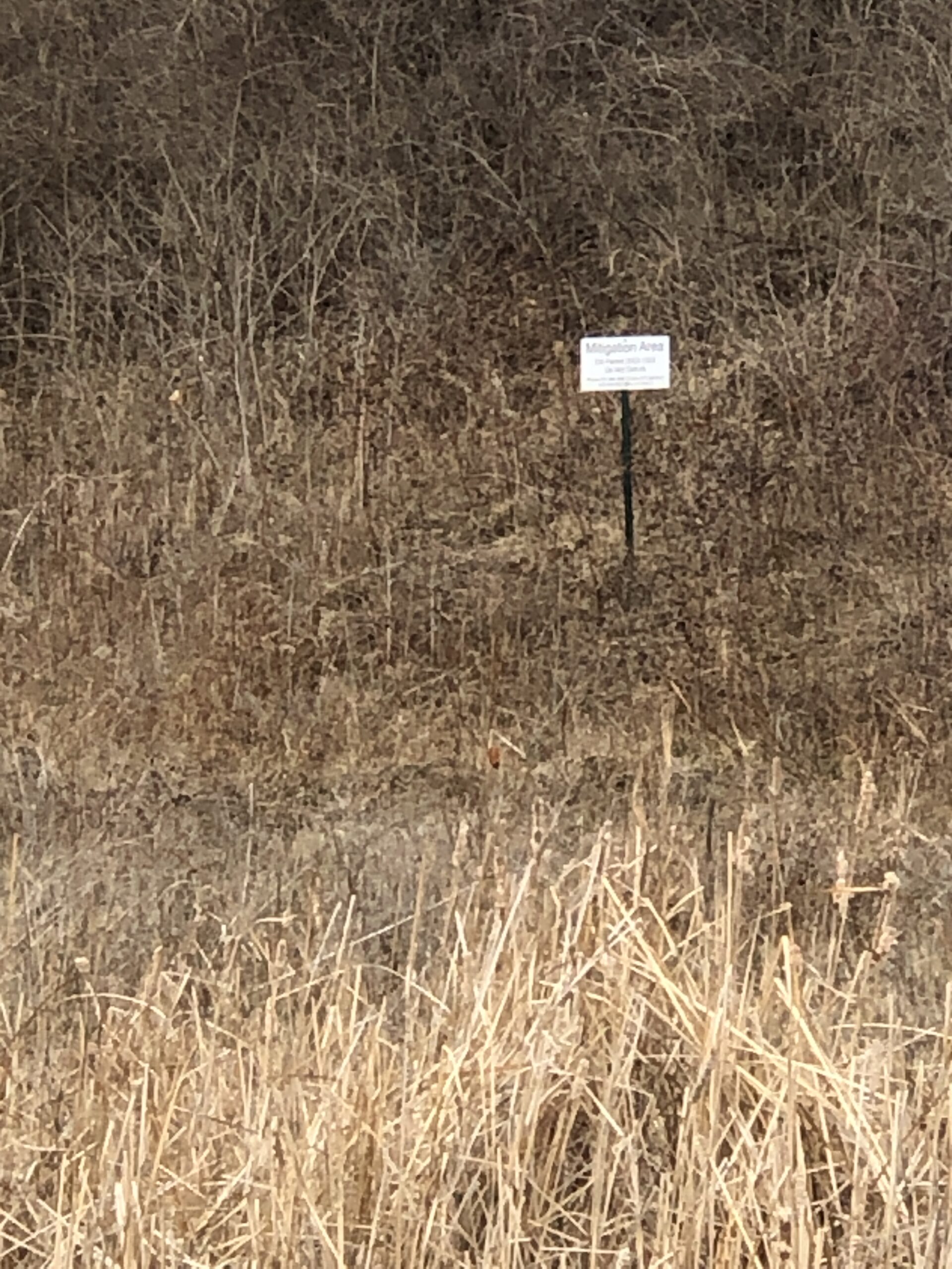
Lowes IMG 0915