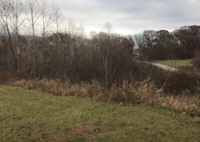
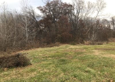
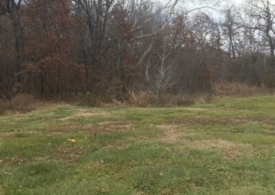
McBee Homes Timber Ridge Meadows
*Click on map to unlock navigation | Refresh the page to re-lock map navigation*
General Info
Agency
U.S. Army Corps of Engineers – Kansas City
Authority
Section 404 Clean Water Act
Mitigation Type
Stream/Wetland
Grantor
McBee Custom Homes LLC
Attn: Steve McBee
520 North Hwy 7
Independence Missouri 64012
Current Owner
McBee Custom Homes LLC
Attn: Steve McBee
520 North Hwy 7
Independence Missouri 64012
Permit & Easement
Easement Duration
Perpetual
Easement Status
Final
Easement Date
08/23/2010
Recordation Date
01/28/2011
Recordation Location
Jackson County, Missouri
Acceptance Date
Agency Permits
No Permit Files
Easement Document
Download File
Project Description
Download File
Other Files
No Other Files
Inspections
Monitoring Status
Active
Inspections
Inspected 11 / 2019
Download Inspection
Inspected 11 / 2021
Download Inspection
Site Info
Site Name
McBee Homes Timber Ridge Meadows
Site Permit
NWK-2009-1326
Site Address
2710 Old Atherton Rd
Independence Missouri
County
Jackson County
Section
16
Range
31W
Township
50N
Geolocation
39.152865, -94.331637
Site Signage
No
Acres
1.270
Watershed Designation
Little Blue River
Eco. Drainage Unit
Central Plains/Blackwater/Lamine
Easement Name
Timber Ridge Meadows
Notes
Take I-470 E/US-50 E and follow the signs for Interstate 470 E/Lee’s Summit/Grandview/U.S. 71 South. Keep left to continue on MO-291 North. Take exit for US-24 toward Lexington/Independence and turn right. In 1.1 miles, turn left (north) onto N Blue Mills Road and then turn left (north) onto N Old Atherton Road in 0.5 miles. The mitigation site is located 0.20 miles west of N Old Atherton Road.


