SWT MAEDC Salt River SWMP
*Click on map to unlock navigation | Refresh the page to re-lock map navigation*
General Info
Agency
U.S. Army Corps of Engineers – St. Louis
Authority
Section 404 Clean Water Act
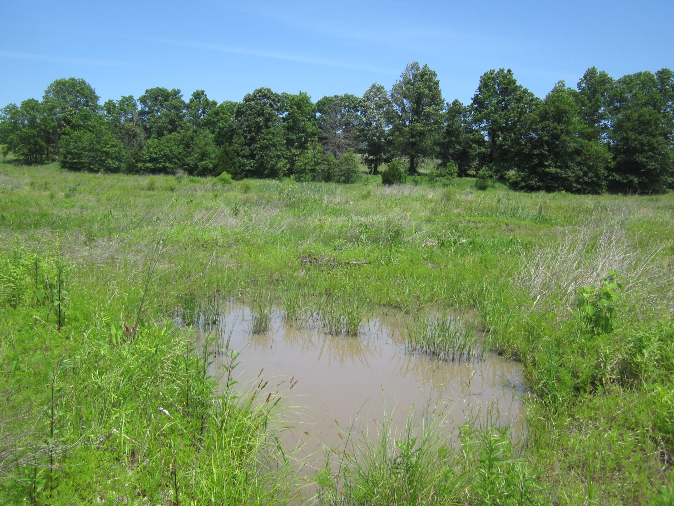
Mitigation Type
Wetland
Grantor
Swallow Tail LLC
24820 Miller Road
Harrisonville, Missouri 64701
Current Owner
Swallow Tail LLC
24820 Miller Road
Harrisonville, Missouri 64701
Permit & Easement
Easement Duration
Perpetual
Easement Status
Final
Easement Date
09/15/2010
Recordation Date
09/20/2010
Recordation Location
Macon County, Missouri
Acceptance Date
Agency Permits
Download File
Easement Document
Download File
Project Description
Download File
Other Files
Download Mitigation Plan
Inspections
Monitoring Status
Active
Inspections
Inspected 07/2023
Download Inspection
Site Info
Site Name
SWT MAEDC Salt River SWMP
Site Permit
NWK-2008-0838
Site Address
Omega St & Onyx Ave
Missouri
County
Macon County
Section
23
Range
13W
Township
56N
Geolocation
39.639814, -92.334319
Site Signage
No
Acres
2.410
Watershed Designation
Narrows Creek-Middle Fork Salt River
Eco. Drainage Unit
Central Plains/Cuivre/Salt
Easement Name
MAEDC Salt River SWMP
Notes
From Interstate 70 take Highway 63 north past Moberly to State Highway Y and turn east. Follow State Highway Y for approximately 7.5 miles then turn east onto Onyx Avenue. Follow Onyx Avenue approximately 1.25 miles then turn west onto Omega Street. Follow Omega Street, which quickly becomes a dirt road, approximately 0.4 mile. The site is located approximately 0.35 mile north of the road. Emergent Wetland Steel Posts at Perimeter (Internal posts are present for hydrologic monitoring).
Site Images
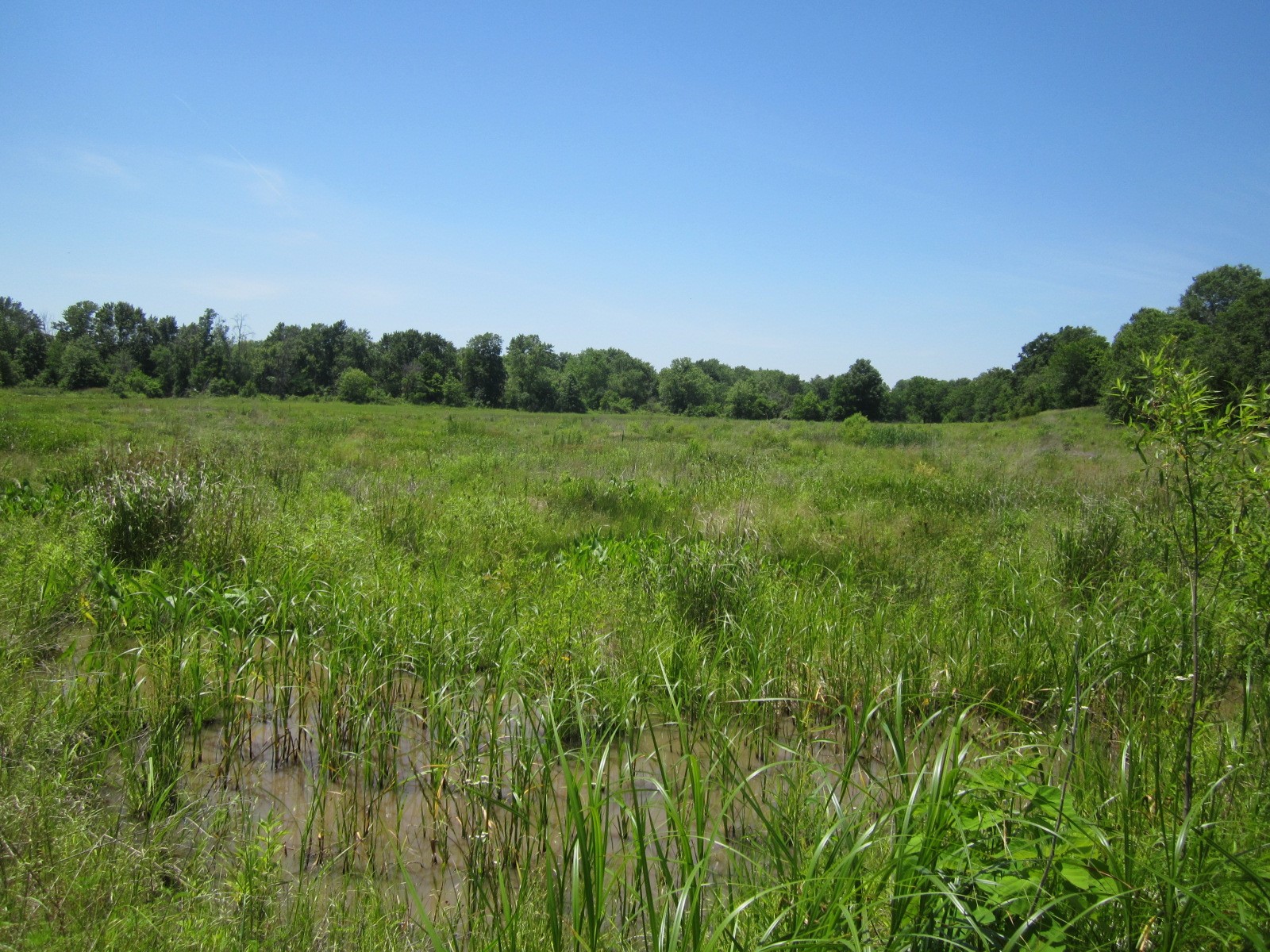
Pic1 Salt River