HMW Riverstone North
*Click on map to unlock navigation | Refresh the page to re-lock map navigation*
General Info
Agency
U.S. Army Corps of Engineers – Kansas City
Authority
Section 404 Clean Water Act
Mitigation Type
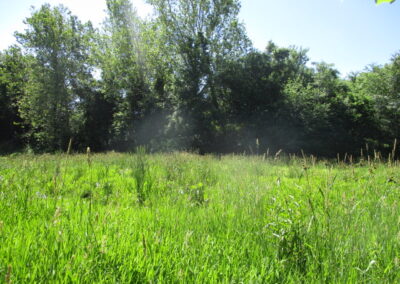
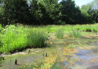
Stream/Wetland
Grantor
Hunt Midwest Real Estate Development, Inc
8300 NE Underground Dr Suite 100
Kansas City Missouri 64161
Current Owner
Hunt Midwest Real Estate Development, Inc.
8300 NE Underground Dr Suite 100
Kansas City Missouri 64161
Permit & Easement
Easement Duration
Perpetual
Easement Status
Final
Easement Date
12/29/2010
Recordation Date
12/30/2010
Recordation Location
Platte County, Missouri
Acceptance Date
Agency Permits
Download File
Easement Document
Download File
Project Description
Download File
Other Files
Download Mitigation Plan
Inspections
Monitoring Status
Expired
Inspections
Inspected 9 / 2019
Download Inspection
Inspected 9 / 2020
Download Inspection
Site Info
Site Name
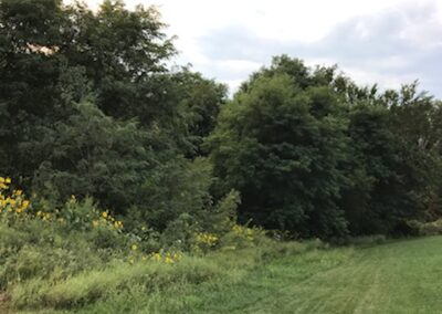
HMW Riverstone North
Site Permit
NWK-2007-0765
Site Address
N Amity Ave & NW Old Tiffany Springs Rd
Kansas City Missouri
County
Platte County
Section
1
Range
34W
Township
51N
Geolocation
39.260134, -94.676516
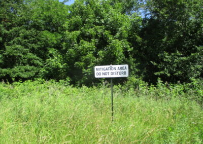
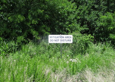
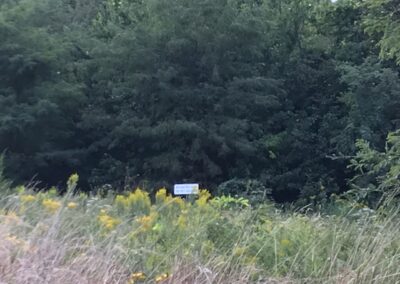
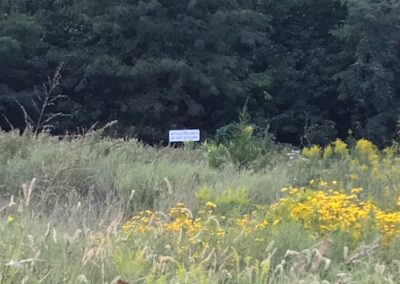
Site Signage
Yes
Acres
4.430
Watershed Designation
Rush Creek
Eco. Drainage Unit
Central Plains/Nishnabotna/Platte
Easement Name
Riverstone North
Notes
From Interstate 29 North/US-71 North, take exit 19B for MO-152 West. Take the Amity Avenue Exit and turn right (north) at N Amity Ave. Take the first right turn onto NW Old Tiffany Springs Road. Travel approximately 0.7 miles and turn right onto Seymour Avenue. The mitigation site is located approximately 0.18 miles southwest of the intersection of Seymour Avenue and NW Old Tiffany Springs Road.
